Rohde & Schwarz Joins Forces with fiveD
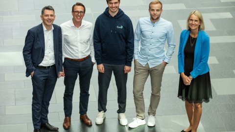
The Munich based technology group Rohde & Schwarz has been a strategic partner of fiveD since the end of July 2024. The Radar Simulation Suite created by the startup from Erlangen takes radar simulations to the next level, closing the gap between reality and virtual worlds. This expertise will help Rohde & Schwarz to further expand its market leadership in the field of contactless security checks.
The Rohde & Schwarz group has a particularly longstanding and successful collaborative partnership with the Friedrich-Alexander-Universität Erlangen–Nürnberg and its Institute of Microwaves and Photonics (LHFT), where the founders of fiveD worked as doctoral candidates. Andreas Hägele, Vice President Microwave Imaging at Rohde & Schwarz, explains: “The founding of fiveD and our participation were the next logical steps. This strategic partnership will further expand our market-leading position in the field of security scanners.”
The fiveD Radar Simulation Suite, a pioneering software tool that will soon enter the market, realistically simulates radars. “Until now, there has been a gap between reality and virtual worlds in radar simulations. By closing this gap, we can now obtain virtual data with an unprecedented level of quality,” says Hägele. This data will further improve the development of Rohde & Schwarz security scanners, which use artificial intelligence (AI) to detect potentially dangerous objects, that are used at airports and for critical infrastructure around the world, enabling fast, contactless security checks. The Radar Simulation Suite also eliminates another bottleneck for AI: the manual labeling of countless individual data points.
Neural networks require these labels during the initial training process, in which they learn to categorize information correctly. This widespread manual process is time-consuming and error-prone. The fiveD software suite, on the other hand, labels the data automatically and therefore much more quickly, accurately, and completely free of errors. This type of labeling allows fiveD to add a fifth dimension to radar data, which is otherwise four-dimensional due to its 3D spatial image and speed information.

